GPS and Mapping Systems: Essential Tools for Safe and Accurate Navigation in Maritime
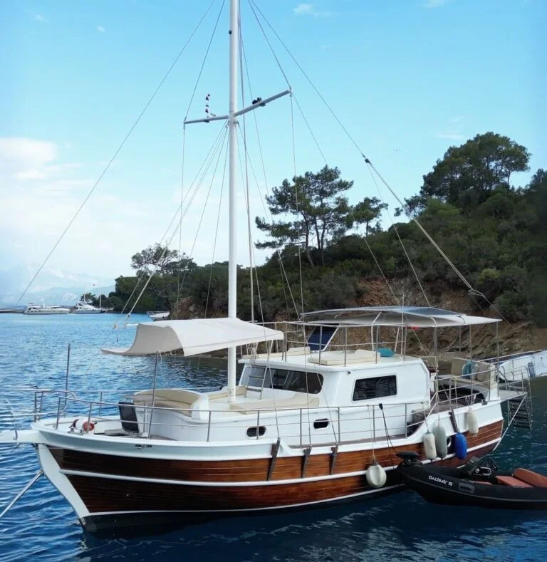
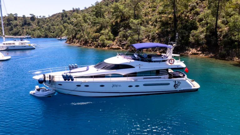
For safe navigation at sea, obtaining accurate direction and location information is crucial. In this regard, GPS (Global Positioning System) and mapping systems are fundamental tools that help sailors follow the correct route, avoid dangers, and reach their destinations safely. These systems are indispensable for both professional sailors and hobbyists using their boats.
Key Features and Functions of GPS and Mapping Systems
What is GPS (Global Positioning System)?
GPS is a satellite-based navigation system that helps determine the location of a device anywhere in the world. GPS devices use four or more satellite signals to determine a boat’s position, speed, and direction. These devices offer benefits such as route determination, speed calculation, and time savings when targeting specific points.
Features of GPS:
- Location Determination: GPS devices determine the user’s exact location, even in open waters or areas with no connection to land.
- Speed and Direction Tracking: GPS shows the boat’s speed and direction, ensuring safer navigation. This is particularly important during long voyages.
- Trip Planning: GPS devices can be used to create routes, determining the shortest or safest path.
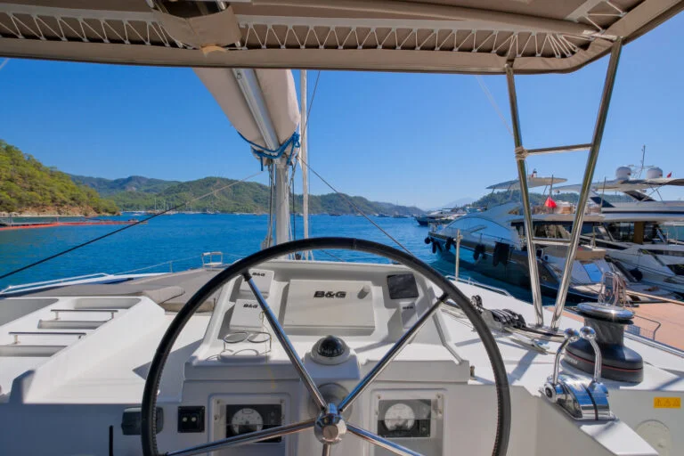
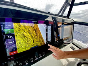
- Advanced Integration: Modern GPS devices offer broader data by integrating with other navigation systems such as radar, sonar, and chartplotters.
Mapping Systems and Nautical Charts
Mapping systems are another crucial navigation tool that works alongside GPS devices. Nautical charts provide information about sea routes, ports, islands, rocks, shipwrecks, and other marine structures. Today, digital charts and chartplotters (map screens) have become more prevalent.
Features of Mapping Systems:
- Digital Charts: Digital charts are more dynamic and useful than traditional paper charts. They can be displayed on chartplotter devices, providing instant route information. Digital charts are also easily updatable and can sync data across different devices.
- Paper Charts: Paper charts are still preferred by many sailors. They are essential backup resources in case GPS signals are lost.
- Navigation Software: Some sailors use mapping data through computers or mobile devices. Navigation software combines digital charts and GPS data, offering a more efficient navigation experience.
Integration of GPS and Mapping Systems
In modern maritime equipment, GPS and mapping systems often work in an integrated manner. This integration allows sailors to view both real-time location and route information on a single screen. GPS data is transferred to the mapping system, visualizing your location, route, and potential hazards.
Benefits of Integrated Systems:
- Ease of Use: Integrated systems allow you to perform all navigation tasks together.
- Quick Response: These systems provide immediate feedback and offer rapid solutions to any potential dangers.
- Data Synchronization: Continuous updates ensure that both systems remain synchronized and provide accurate information.
Selecting GPS and Mapping Systems
- Boat Size and Needs: The GPS device and mapping system should be chosen based on the intended use. Sailboats may require more map and route planning, while motor yachts focus more on speed and position tracking.
- Integrated Features: If you want all navigation systems in one device, you can opt for a system that integrates radar, sonar, and chartplotters.
- Updatability: It’s crucial that mapping systems are equipped with up-to-date data, as maritime charts are updated more frequently than terrestrial ones.
Innovations in GPS and Mapping Systems
In recent years, smartphones and tablets with maritime applications have reached a level comparable to traditional navigation devices. Technological advances now provide more data to sailors, enabling better voyage planning.
Secure Your GPS and Mapping Systems with Motoryat.com
You can obtain reliable GPS devices, chartplotters, radar systems, and digital charts at Motoryat.com. Enhance the safety and efficiency of your voyage with high-quality maritime navigation tools. Our expert team will assist you in selecting the most suitable devices for your needs.
WhatsApp: +90 537 432 71 17
Customer Support Line: Weekdays 09:00 – 18:00